Topographical And Statistical Description Of The County Of Kent.
£250.00
Publisher
Sherwood, Gilbert, and Piper, Paternoster Row.
Place
London
Date
[after 1837]
Synopsis
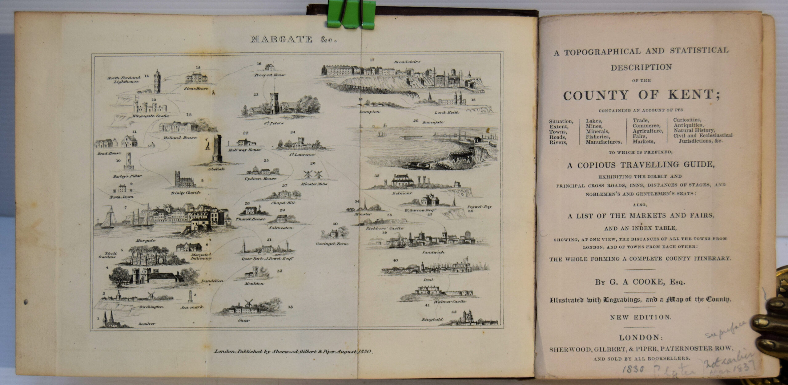
Containing an account of its situation, extent, towns, roads, rivers, lakes, mines, minerals, fisheries, manufactures, trade, commerce, agriculture, fairs, markets, curiosities, antiquities, natural history, civil and ecclesiastical jurisdictions, etc. to which is prefixed, a copious travelling guide, exhibiting the district and principal cross roads, inns, distances of stages, and noblemen's and gentlemen's seats, also, a list of the markets and fairs, and an index table, showing, at one view, the distances of all the towns from london, and from each other. the whole forming a complete county itinerary. by g. a. cooke, esq. illustrated with engravings, and a map of the county. new edition. (cooke's topographical library).
Item Description
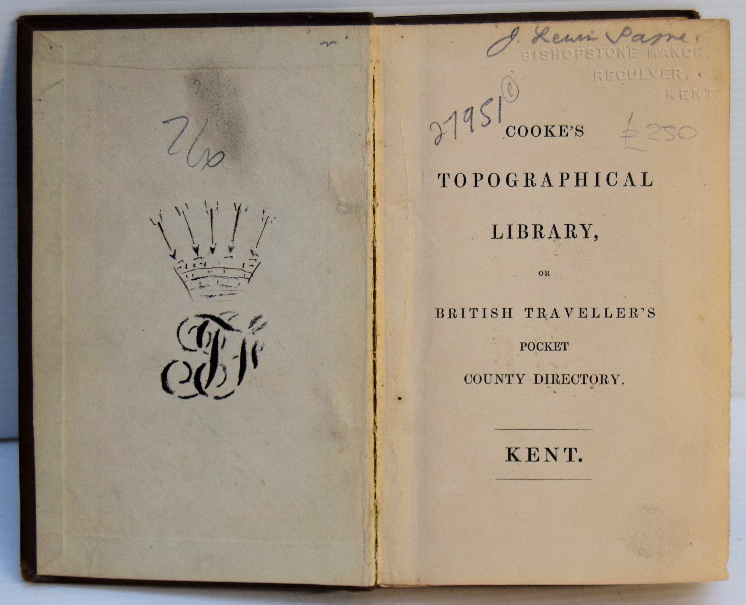
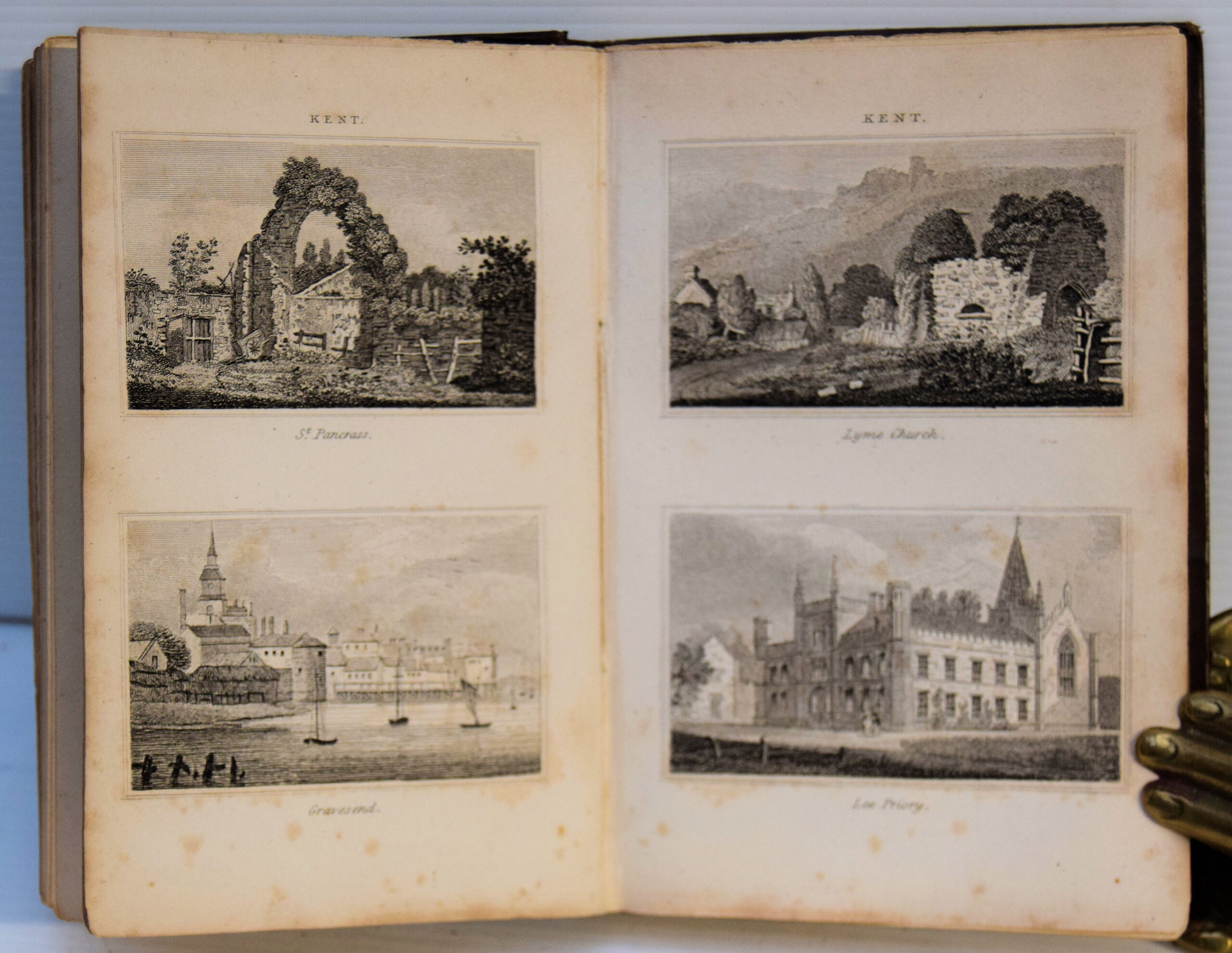
12mo. 6 x 4 inches. 247 + [1] pp. publisher's series list. Blank first free endpaper removed. Bound in brown cloth with contrasting dark green spine title label, gilt. A little wear to extremities, but otherwise a very good copy. Ink drawing of coronet and monogram on front pastedown and signature and embossed Reculver address stamp on half title. A few pencil underlinings in text. Illustrated by engraved folding diagram of coastal sites and buildings, mostly in Thanet, by hand coloured folding map of Kent, coloured two page map with bird's eye view of buildings of Steam Boat Companion from London to Ramsgate and by 4 engraved plates with 8 images. A most interesting pocket compendium of the county for the traveller containing a mass of information, a volume in the Topographical Library of Britain (see list at end) of George Alexander Cooke, artist and cartographer. It includes an itinerary of roads and distances and a general description of the county, including its distinctive agriculture, with sections on the implements of husbandry, the hop grounds of Canterbury and Maidstone and orchard, cherry-gardens and filbert plantations. This is followed by a topographical account of towns and villages. The Folkestone section mentions the pier 'of rude construction...formed of masses of unwrought stone, which appear to have been dropped one upon another, without arrangement or cement. The unfinished state of the dry stone pier indicates the this edition appeared soon after the accession of Queen Victoria in 1837 (see p.8) and before the reconstruction of Folkestone Harbour after 1840. The rise of steam navigation is referred to in the section on Excursions by Water, with its fine bird's eye view map, underlining the author's bias to the Thanet area as does the frontispiece. The first edition of this title was similarly undated but was likely to be 1800-10. This new edition, with its additional illustrations is very scarce.
[Stock No. 27951]