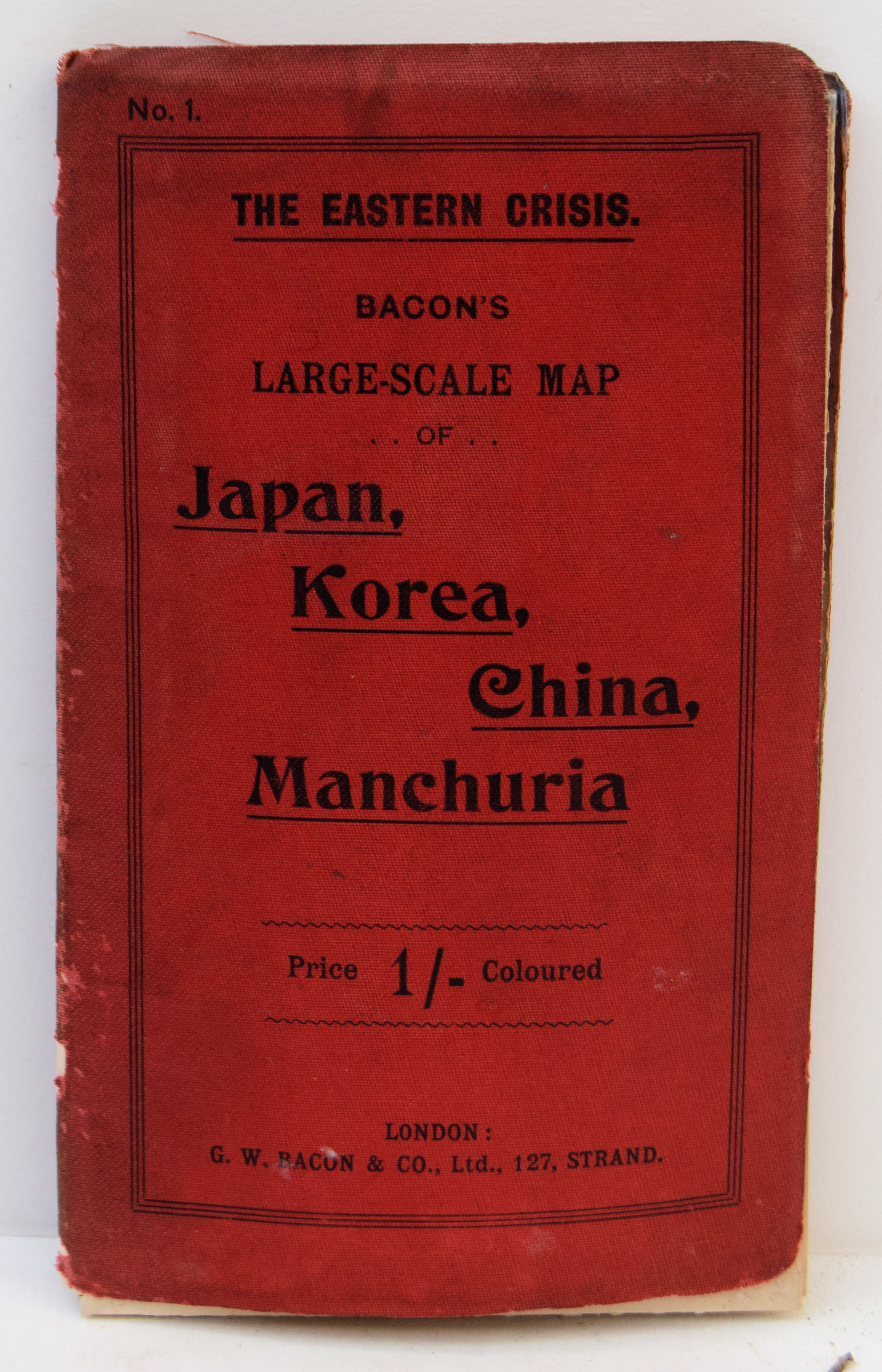
The Eastern Crisis. Bacon’s Large-scale Map Of Japan, Korea, China, Manchuria..
Paper map folded into red cloth cover, which has slight wear to extremities. splits along fold lines of map neatly repaired.
£100.00
Publisher
G. W. Bacon and Co. Ltd., 127, Strand.,
Place
London
Date
[c.1904].
Synopsis
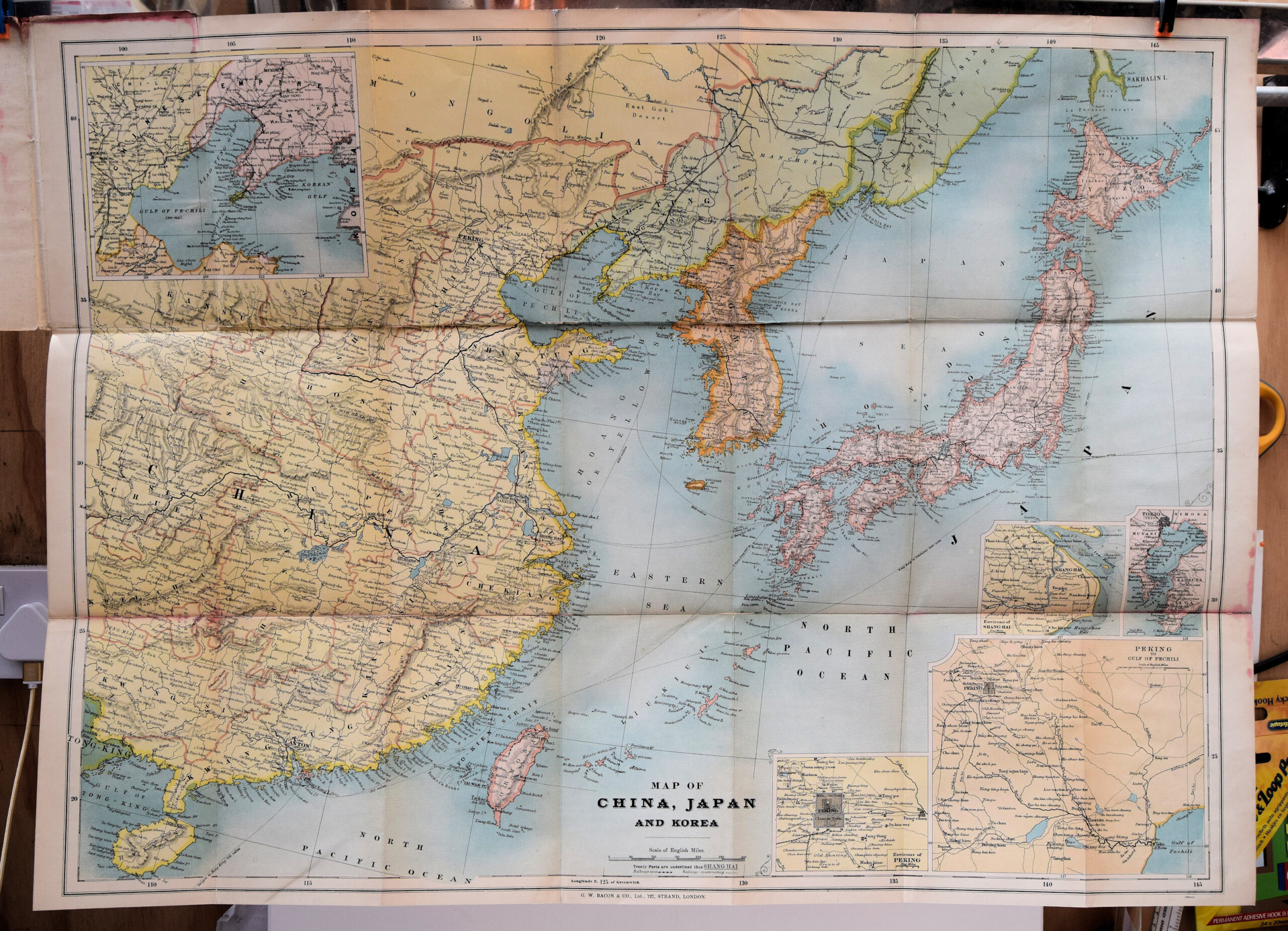
[map title:] map of china, japan and korea.
Item Description
Coloured Folding Map. 30 x 21.5 inches.
Notes
This Map of 'The Eastern Crisis' probably dates to the start of the Russo-Japanese War of 1904-05 as it appears to show Russia still occupying Manchuria and Port Arthur and Korea still independent of Japan (until 1910).
[Stock No. 24483]
Subjects
20th Century • Asia • Far East • Folding Maps • Topography