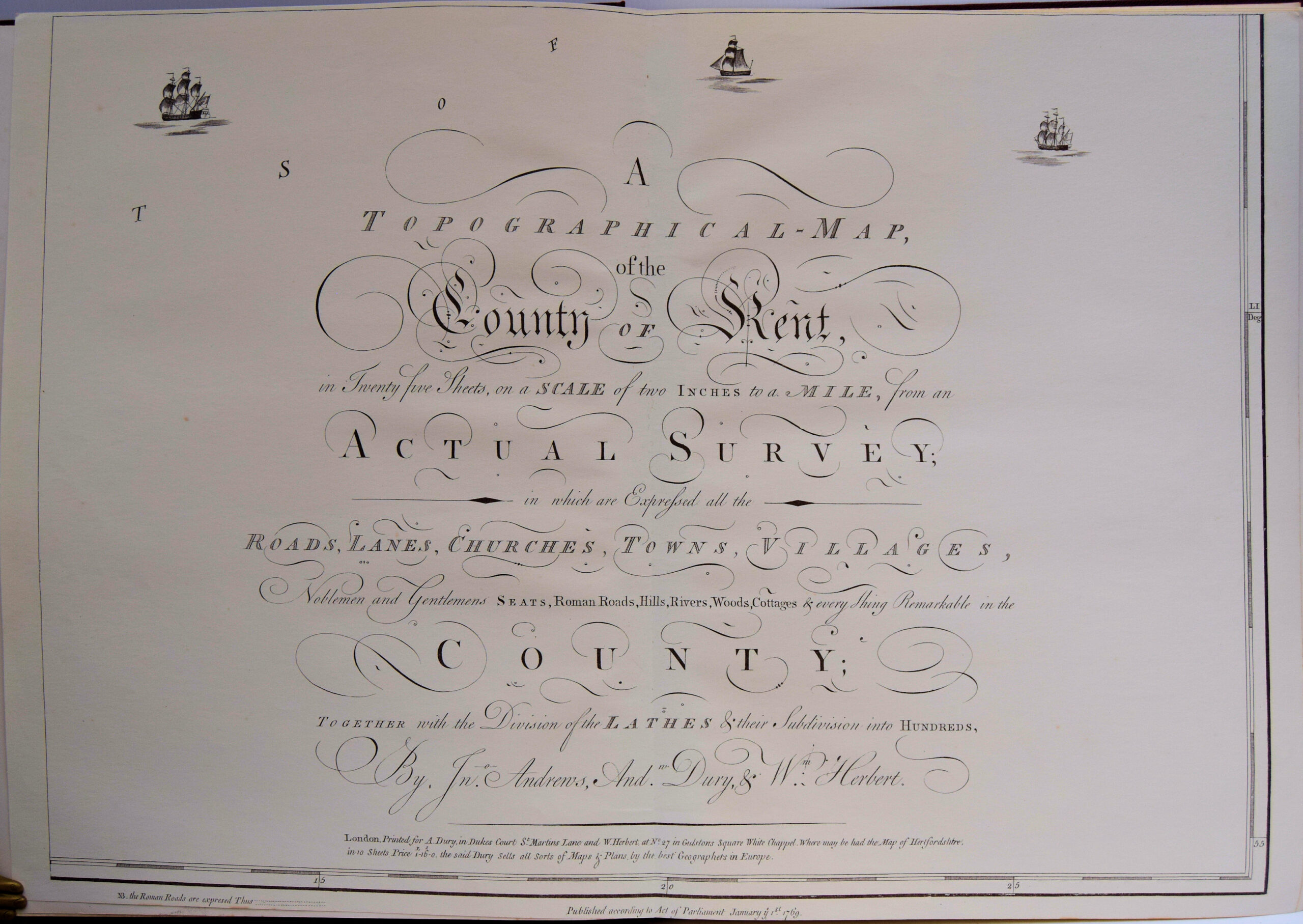
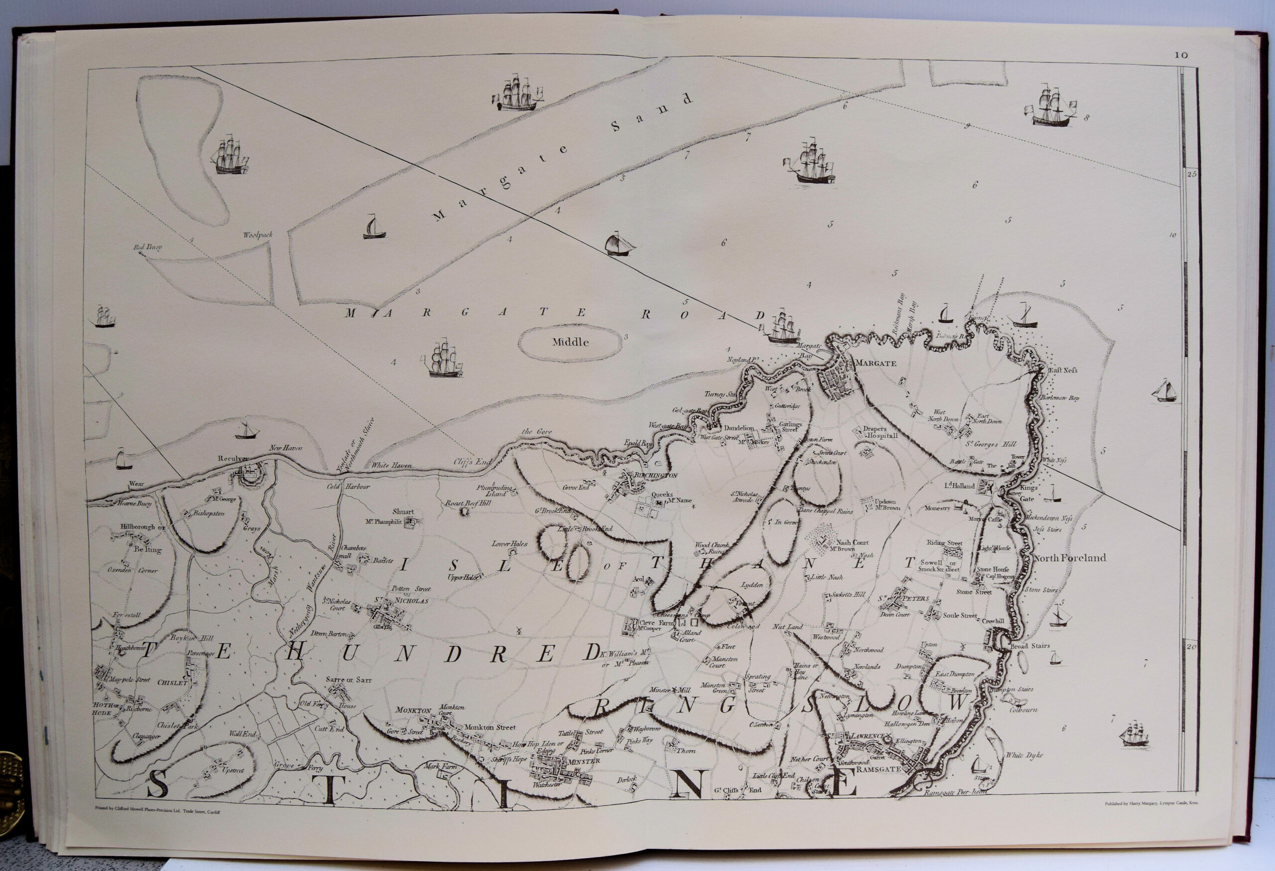
Kent – A Topographical Map Of The County Of Kent In Twenty Five Sheets. On A Scale Of Two Inches To A Mile, From An Actual Survey;
£250.00
Publisher
London Printed for A. Dury in Dukes Court St. Martins Lane and W. Herbert at No 27 in Gulstons Sq. White Chappel, Published according to Act of Parliament January 1st. 1769. but reprinted by Harry Margary, Lympne Castle Kent.
Date
1968
Synopsis
In which are expressed all the roads, lanes, churches, towns, villages, noblemen and gentlemens seats, roman roads, hills, rivers, woods, cottages and every thing remarkable in the county; together with the division of the lathes and their subdivision into hundreds.
Item Description
Folio. Engraved title and dedication, (forming sheets 25 and 21), index map of the county and 23 copper engraved maps. Each sheet approx. 19 x 28 ins. A facsimile of the rare atlas of the county of Kent providing an affordable example of this great map (the original is well into four figures). Andrews and Dury published their famous atlas some thirty years before the Ordnance Survey and they immediately became the best large scale maps of the county - it is thought Edward Hasted based his maps of the Hundreds of Kent on Andrews and Dury's work. The fine engraved hatching at once distinguishes these sheets from other maps of the period and the use of the large scale enables one to see individual houses and particularly the country seats, many of which are identified with their owners' names.
[Stock No. 29646]