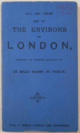
Gall & Inglis’ Map Of The Environs Of London For Cyclists, Tourists, &c., Showing The Country For Twenty-five Miles On Each Side Of St. Paul’s..
Preserved within the original printed blue cloth wrappers. Slight wear to some folds otherwise a very good example.
£60.00
Publisher
Gall & Inglis, 25 Paternoster Square,
Place
Edinburgh & London
Date
No date but c.1895.
Item Description
Large, colour-printed folding map on mull reinforced paper, 29 x 23 inches, showing from Wendover to Chelmsford and from Aldershot to Marden. Advertisement to front pastedown.
[Stock No. 21527]