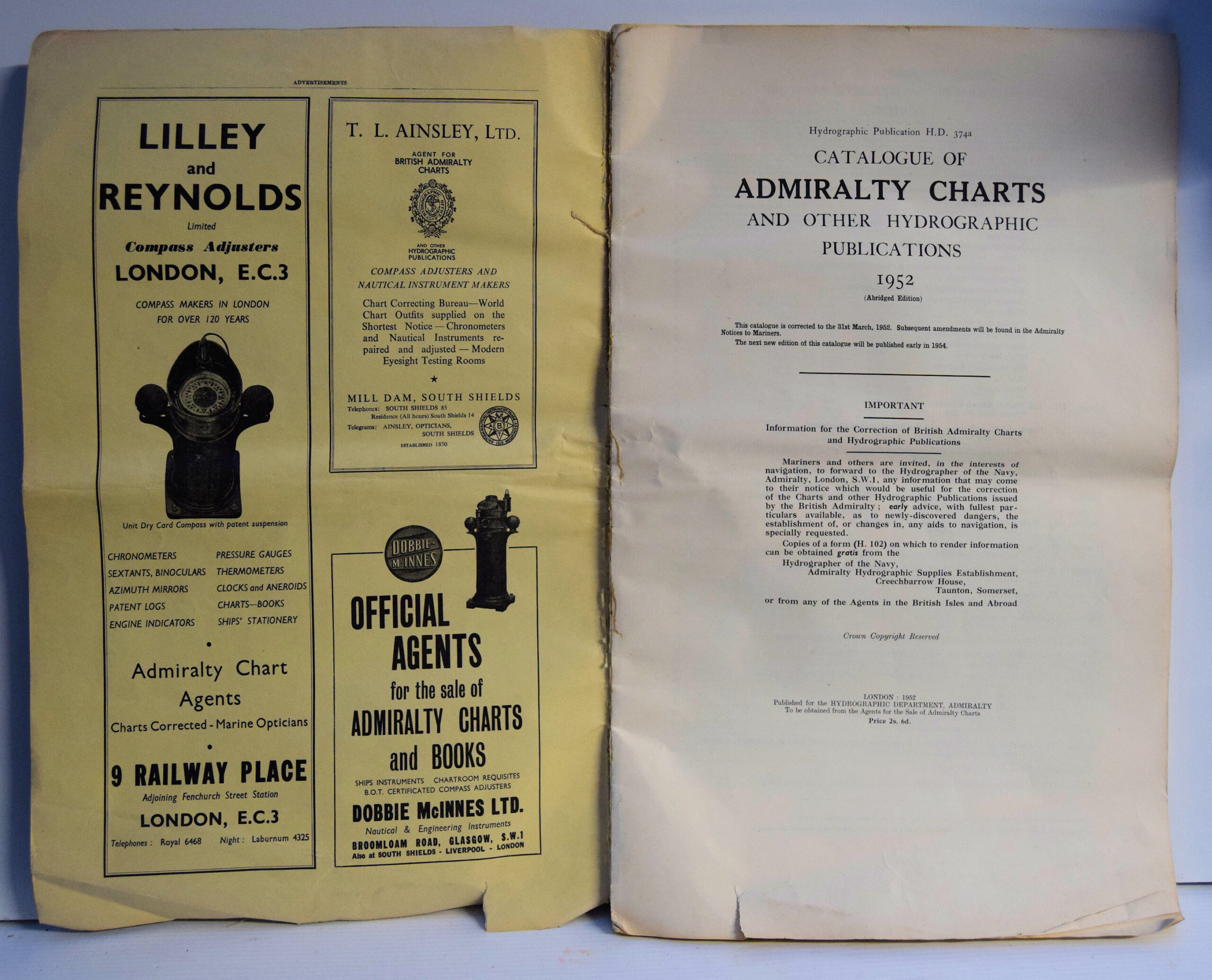
Catalogue Of Admiralty Charts And Other Hydrographic Publications.
£100.00
Publisher
for the Hydrographic Department, Admiralty.
Place
London
Date
1952
Synopsis
1952 ( abridged edition).
Item Description
Folio. 17 x 11 inches. ii + 1-16; 65-79 + [5] pp. advertisements + [19] pp. maps. In paper wrappers with advertisements on inside and rear wrappers, which have worn edges and tears. Signs of folding of entire document, edges frayed in places with some tears and a little foxing; otherwise a good interior. Illustrated by 19 maps in black and green, nos. 5501-25; 5598 (folding); 5600. This abridged catalogue of Admiralty charts, published annually includes Sections II, Index Charts and Miscellaneous Charts and Diagrams; III, The World-Ocean Charts; IV, North and West Europe and the East Coast of Greenland; XI, Arctic Regions; XIV, Sailing Directions and other Navigational Publications; XVI, Numerical List of Charts. At the end are the relevant maps of the areas covered.
[Stock No. 29837]