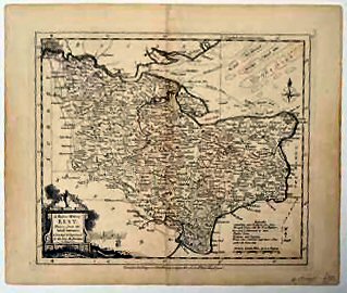
A Modern Map Of Kent,.
Trace of original fold. A fine example.
£125.00
Publisher
Robert Sayer in Fleet Street and Carington Bowles in St Pauls Church Yard. London.,
Date
1765
Synopsis
Drawn from the latest surveys; corrected and improved by the best authorities. w. palmer sculp.
Item Description
Copper engraving. 8 x 9.5 inches.
Notes
From John Ellis's New English Atlas which appeared in 1765 and is a decorative little map with an attractive cartouche showing Kent to be a maritime county overflowing with flowers, etc.
[Stock No. 17985]